About SAFE-T
Making the low-altitude sky visible to everyone.
Drones are ready to transform delivery, inspection, agriculture and emergency response. What's missing is a shared understanding of the airspace they fly in.
Our story
Two kinds of aviation. One sky.
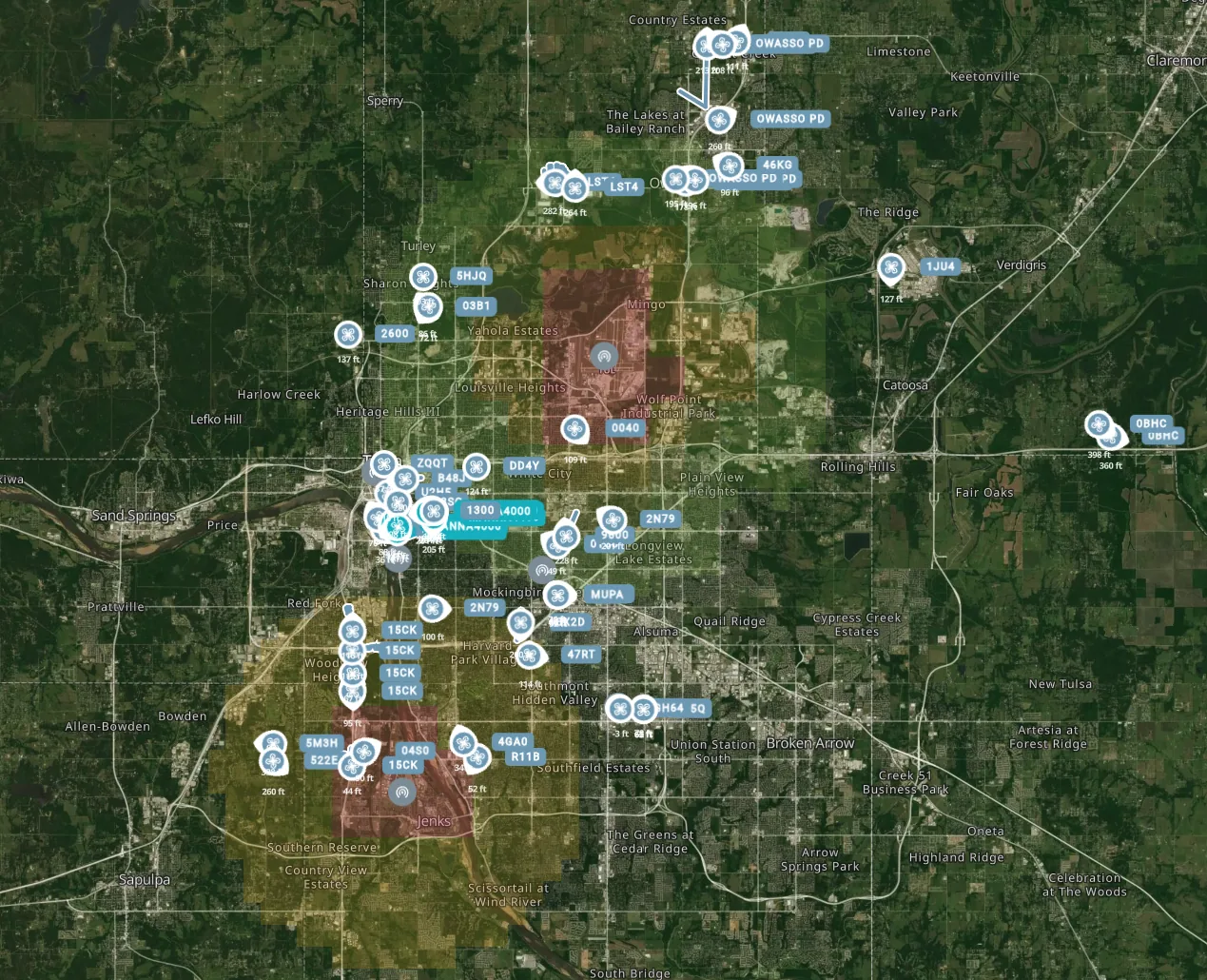
Traditional aviation and drones grew up on different systems. Crewed aircraft are tracked one way; drones broadcast another. Down low — where most drones fly — those two worlds overlap, but the picture is fragmented.
SAFE-T was founded to bring those signals together. By fusing traditional airspace data with drone signals, we create a common operating picture that operators, airspace managers and public agencies can all trust.
That shared awareness is the foundation for drone operations that are not just possible, but safe and scalable.
What drives us
Principles we build by.
Safety first
Every design decision starts with one question: does this make the sky safer for everyone in it?
Fusion over silos
Crewed and uncrewed aviation belong in the same picture. We bring the signals together.
Built to scale
From a single operation to an entire region, awareness should grow with the airspace.
Rooted in Tulsa.
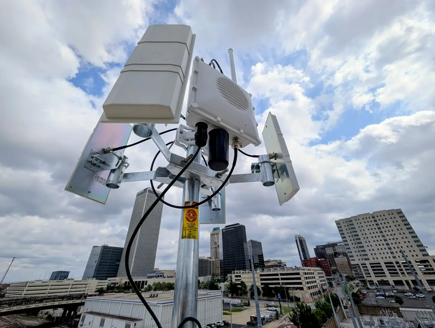
SAFE-T is proudly based in Tulsa, Oklahoma — a city with deep aviation roots — and we're building tools to help the next era of flight take off safely here and beyond.
The partnership
Three organizations, one picture.
SAFE-T is a partnership between Tulsa Innovation Labs, meerir and Skyway Range.

Let's work together
Planning drone operations in your airspace?
We partner with operators, airports, public agencies and investors building the future of low-altitude flight.
Start a conversation