Low-altitude airspace awareness · Tulsa, OK
One clear picture of the sky below 400 feet.
SAFE-T fuses traditional airspace signals with drone signals into a single common operating picture — so drone operations can grow safely, and at scale.
Common operating picture
Crewed aircraft + drones, one view
Partnership
SAFE-T is a partnership between Tulsa Innovation Labs, meerir and Skyway Range.


The challenge
The low-altitude sky is getting busy.
Delivery drones, inspection flights, emergency response, helicopters and small aircraft are increasingly sharing the same few hundred feet of sky. Yet they are often tracked on separate systems that don't talk to each other.
Without a shared view, every new drone operation adds risk — and that risk is what keeps drone programs from scaling. SAFE-T closes that gap.
See the picture
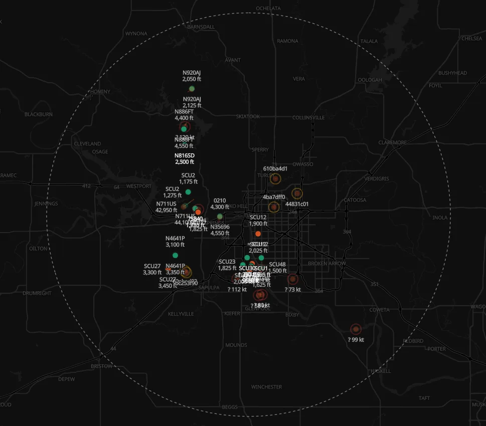
Every source, one screen.
Real SAFE-T views over the Tulsa metro — crewed targets, live drone traffic, and where the flying actually concentrates.
Airspace radar view · Tulsa metro
How it works
From scattered signals to shared awareness.
Ingest
Traditional airspace signals from crewed aircraft and broadcast signals from drones are collected side by side.
Fuse
SAFE-T correlates every source into a single, trusted view of who is flying, where, and how low.
Share
One common operating picture that operators and stakeholders can act on together, in real time.
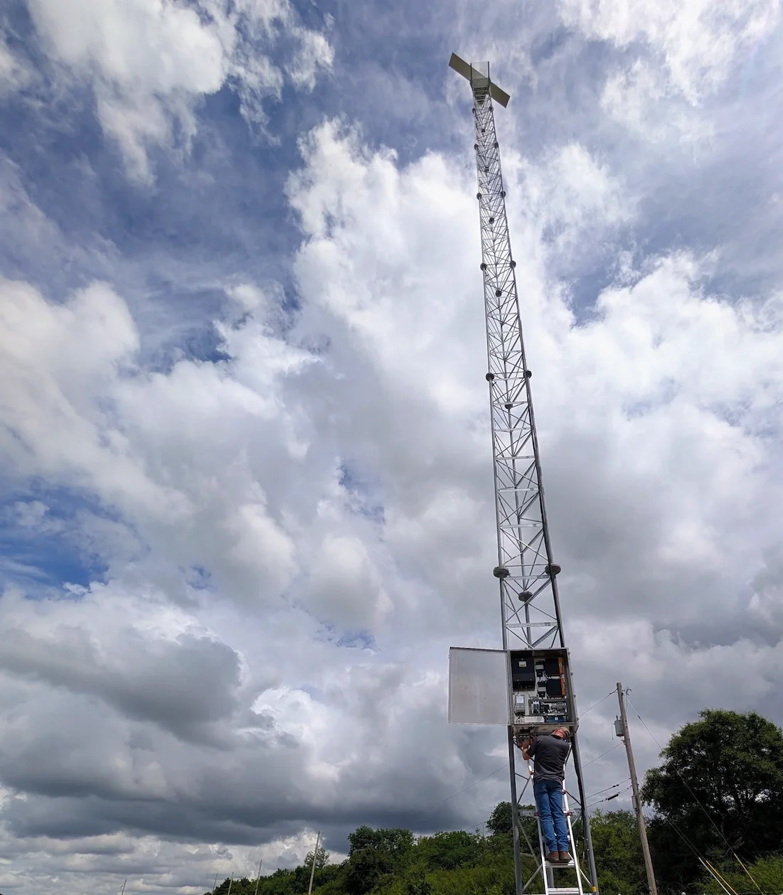
From the field
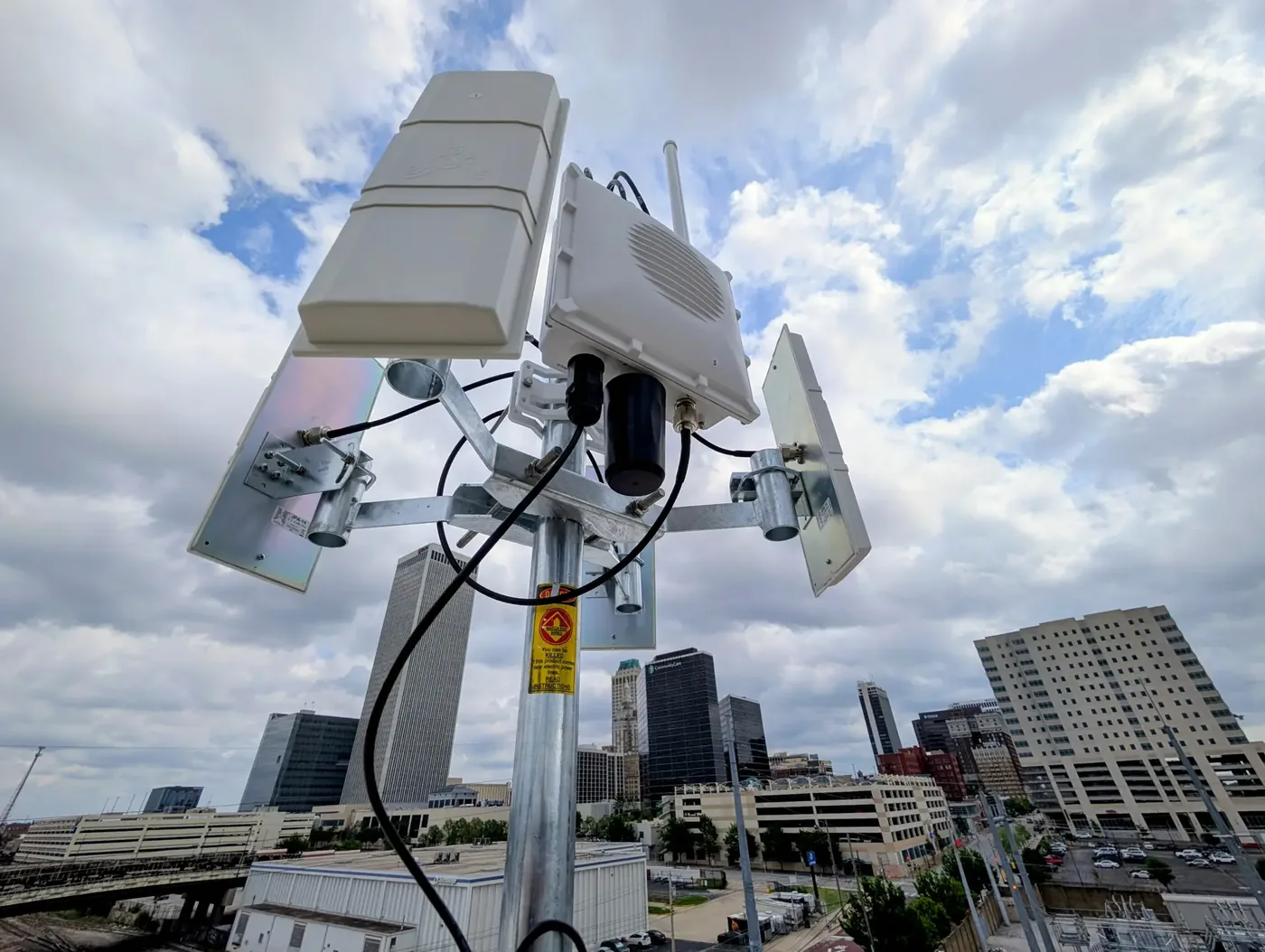
Sensing hardware, already in place.
Radar systems and Remote ID receivers around the metro are the raw material of the picture — collected, cleaned and fused into one view.
Who it's for
Shared awareness for everyone in the air.
Drone operators
Fly beyond today's limits with confidence about what else is in the air.
Airports & airspace managers
See low-altitude activity around your facilities before it becomes a conflict.
Public safety
Coordinate response drones and crewed aircraft from one shared picture.
Cities & enterprises
Lay the safety foundation to scale drone programs responsibly.
Let's work together
Planning drone operations in your airspace?
We partner with operators, airports, public agencies and investors building the future of low-altitude flight.
Start a conversation